Eastern Ontario Imagery Information
The imagery consists of 154 tiles, where each tile covers an area of 23.04 km by 23.04 km.
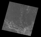
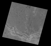
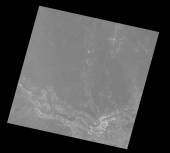
Landsat Imagery
The basic Landsat imagery comes as three color filtered (red, green, blue) pictures with a color resolution of 768x768. A black and white (BW) version is also available with a resolution of 1536x1536. The imagery needs some color correction since each image can be from a very different date and time. Some clouds can obscure some areas and data gaps show as discolored bands.
The three filtered pictures are merged into a color picture and then enhanced by the BW version to create a color picture with a resolution of 1536x1536.
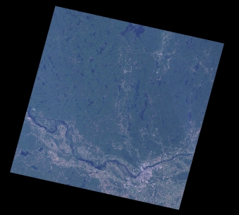
Each Landsat picture covers an area of about 240km by 240 km. A total of 7 pictures are merged together and then cut into 154 smaller pictures, each of size of 1536x1536.
Each picture is then resized to a 2048x2048 tile for use with Condor.
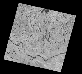
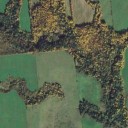
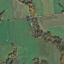
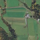
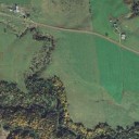
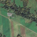
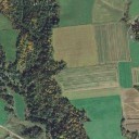
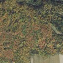
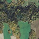
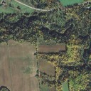
Google-Earth/Maps Imagery (GEM)
The GEM imagery comes as small pictures with resolution of 256x256 at zoom level 15. There is quite a wide variation of color due to the availability of imagery from various seasons and dates. Clouds can obscure large areas. The color consistency is not very good, but the resolution is higher than Landsat. No attempt has been made at color adjustment.
 ...
...
 ...
...
 ...
...
... ... ... ...
784 small pictures are assembled into one 7168x7168 picture.
This picture is then warped to UTM coordinates, cropped and resized to a 4096x4096 tile for use with Condor. This process is repeated for a total of 154 tiles.